Bespoke Build
Request A Custom Map
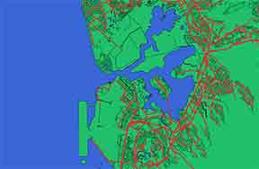
Your Location Here
From hometowns to remote peaks, we can translate any GPS data into a physical relief masterpiece.
Commission a Map →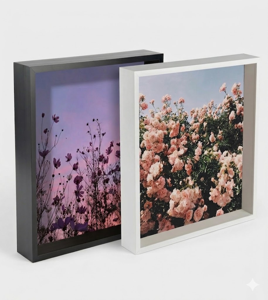
Cartography Frames
Deep 12" x 12" (30 x 30cm) Box Picture Frame. All maps come with either of the colours available. Various sizes available
3 LAYERS
$150.00
Pearl Harbour
Bathymetric data translated into distinct depth layers.


4 LAYERS
$150.00
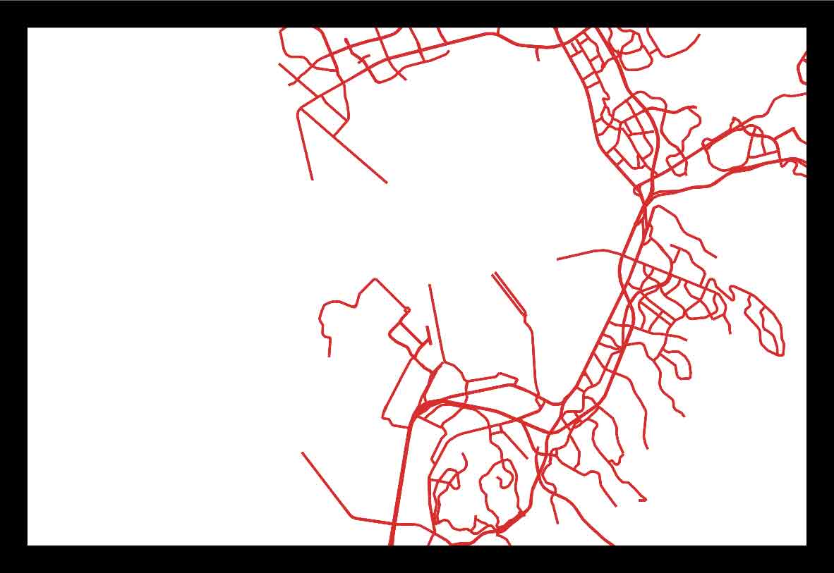
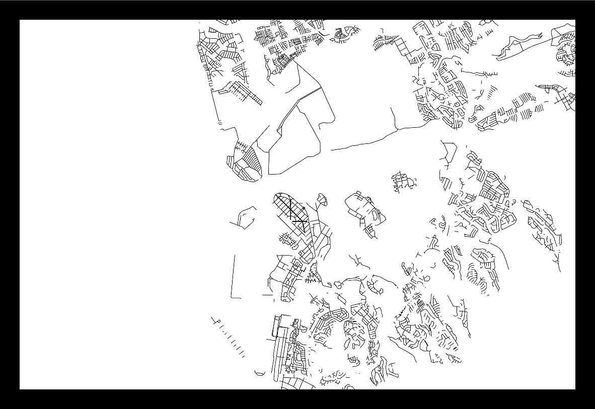
Melbourne CBD
High-density urban grid lines etched on recessed foundation.


$160.00
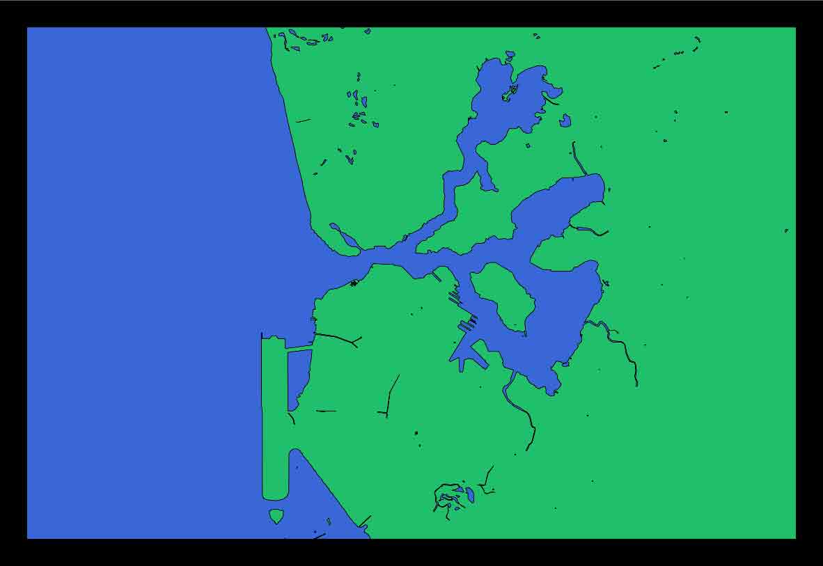
Sydney Harbour
Detailed coastal contours and iconic waterways.


$180.00
Great Ocean Road
The rugged coastline of Victoria captured in wood.


$210.00
Blue Mountains
Intricate relief showing the deep valleys and ridges.


$190.00
Tasmanian Wilderness
Detailed topography of the Cradle Mountain area.